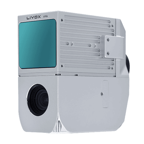
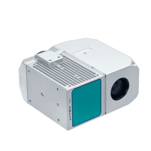
The AlphaAir 450 is designed for simplicity and precision, making advanced geospatial reality capture accessible to non-professional users and those new to the technology. At an affordable price, the AA450 combines ease-of-use with high-precision capabilities. This lightweight, durable solution integrates a high-performance laser scanner, a professional-grade 26 MP industrial camera, and a high-precision inertial navigation system to ensure superior data collection quality.
Jika Anda membutuhkan informasi lebih lanjut tentang produk dan layanan yang ditawarkan oleh PT Asaba Surveying Solutions, jangan ragu untuk menghubungi kami menggunakan tombol di bawah ini.