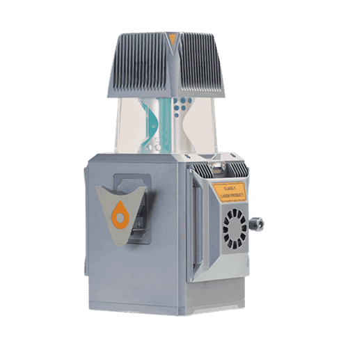
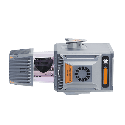
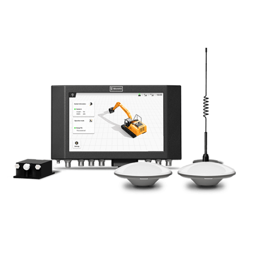
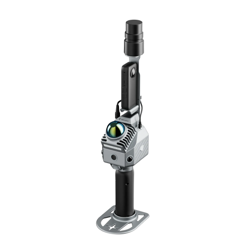
The AlphaUni 20 is a cost-effective, premium-class multi-platform mobile mapping system that embodies CHCNAV’s advanced LiDAR technology. Designed for precise point cloud generation, it is ideal for applications including pavement assessment, highway maintenance, and asset management through vehicle-based surveying. In airborne applications, the AU20 increases survey efficiency with excellent vegetation penetration, long measurement range, and high data accuracy and density.
Jika Anda membutuhkan informasi lebih lanjut tentang produk dan layanan yang ditawarkan oleh PT Asaba Surveying Solutions, jangan ragu untuk menghubungi kami menggunakan tombol di bawah ini.