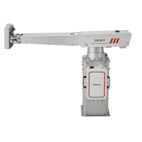
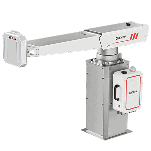
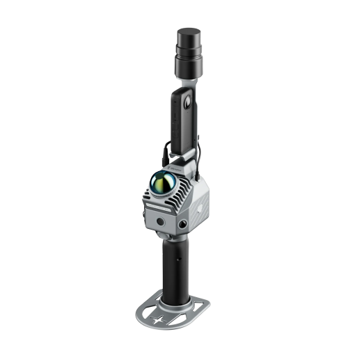
The PS-2000 Multi-point Deformation Monitoring System is designed for high-precision slope stability monitoring. Utilizing differential interferometric measurement and circular synthetic aperture imaging methods, it provides non-contact, all-around monitoring capability with high accuracy and data update rates. Its compact and lightweight design ensures flexible and rapid deployment, making it ideal for applications such as road and railway slopes, open-pit mines, landslides, and hydraulic dams.
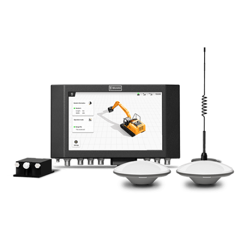
Jika Anda membutuhkan informasi lebih lanjut tentang produk dan layanan yang ditawarkan oleh PT Asaba Surveying Solutions, jangan ragu untuk menghubungi kami menggunakan tombol di bawah ini.