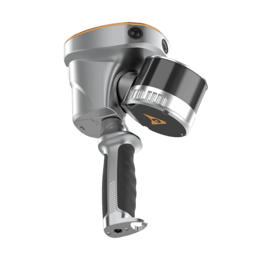
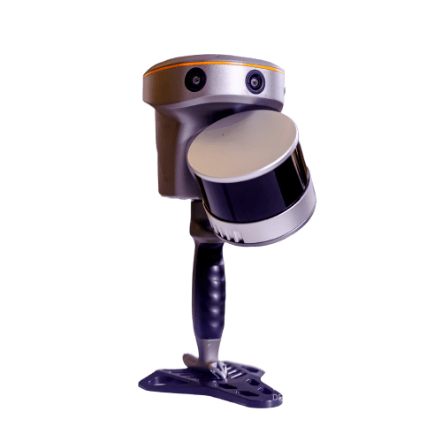
The RS10 integrates GNSS RTK, laser scanning, and visual SLAM technologies into one single platform. This fusion increases the efficiency and accuracy of both indoor and outdoor 3D scanning and surveying tasks. It gives surveyors the ability to work in areas with weak GNSS signals, providing unparalleled flexibility. Designed for surveying, BIM, forestry, power line inspection, underground mapping, and more, the RS10 embodies versatility, making it an essential tool for professionals looking to expand their surveying capabilities.
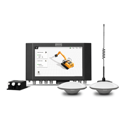
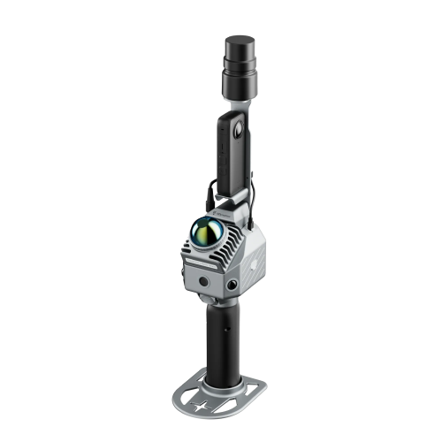
Jika Anda membutuhkan informasi lebih lanjut tentang produk dan layanan yang ditawarkan oleh PT Asaba Surveying Solutions, jangan ragu untuk menghubungi kami menggunakan tombol di bawah ini.