RTK SLAM Satlab SL9

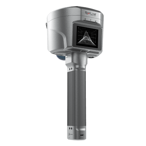
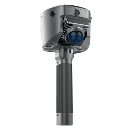
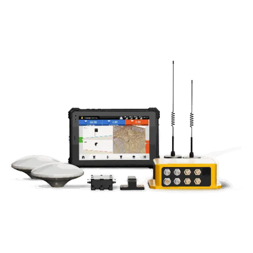
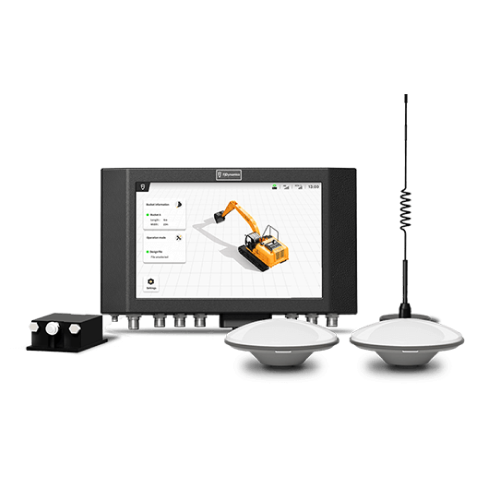
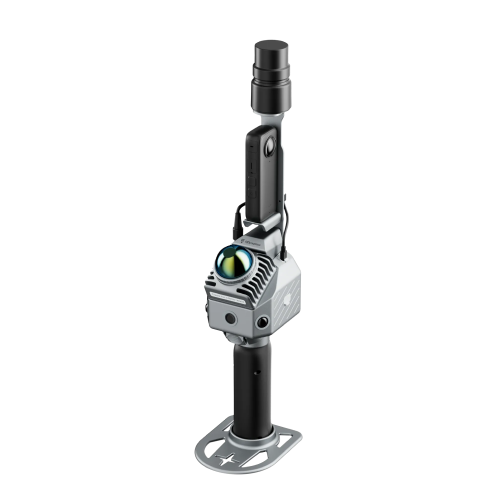
Satlab SL9 is a next-gen RTK GNSS receiver with LiDAR SLAM technology built right in—designed for professionals who demand mobility, accuracy, and real-time intelligence in one compact system. Whether you’re working in GNSS-denied areas, dense urban zones, or rugged terrains, SL9 empowers you to capture precise 3D data without interruption.

Spesifikasi

Positioning

Channels: 1408 channels

Static/Fast Static: H: 2.5 mm + 0.5 ppm | V: 5 mm + 0.5 ppm*

Precision Static H: 2.5 mm + 0.1 ppm | V: 3.5 mm + 0.4 ppm

RTK: H: 8 mm + 1 ppm | V: 15 mm + 1 ppm

PPK: H: 8 mm + 1 ppm | V: 15 mm + 1 ppm

Sensors

Camera: 3 HD Camera, AR Stakeout, image measurement, working distance 2~15 km

Laser Scanner:
Range: 40 m
Class: Class 1 Eye Safe
FOV:  H: 160° | V: 59°

Point Cloud Thickness: 2 cm

Physical

Battery life: RTK (up to 15 hrs), SLAM (up to 5 hrs)
IP64

Internal Radio

0.5W/1W adjustable, 410 – 470 MHz
Protocol: HI-TARGET, TRIMTALK450S, TRIMMARK III, SATEL-3AS, TRANSEOT, etc.

Produk Unggulan

DJI Zenmuse L3
CHCNAV AlphaAir 10
AA9 LiDAR Airborne
CHCNAV AlphaAir 9
M400 Front-Top
DJI Matrice 400

Siap Meningkatkan Proyek Survei Anda?

Hubungi kami sekarang untuk mendapatkan saran ahli, peralatan berkualitas tinggi, dan layanan profesional.

Scroll to Top
Buka WhatsApp
1
Jika Anda membutuhkan informasi lebih lanjut tentang produk dan layanan yang ditawarkan oleh PT Asaba Surveying Solutions, jangan ragu untuk menghubungi kami menggunakan tombol di bawah ini.