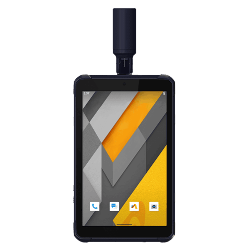
The LT800H RTK Android tablet increases the productivity of mobile workforces. Designed for centimeter-to-decimeter accuracy, it excels in precision GIS data collection, forensic mapping, construction layouts, environmental studies, and landscaping projects. Its sunlight-readable 8.1″ display ensures that GIS data maps and images are clear even in bright sunlight. Its rugged IP67-rated design withstands harsh conditions, making it the first choice for teams in challenging environments.
Jika Anda membutuhkan informasi lebih lanjut tentang produk dan layanan yang ditawarkan oleh PT Asaba Surveying Solutions, jangan ragu untuk menghubungi kami menggunakan tombol di bawah ini.