CHCNAV AlphaAir 10
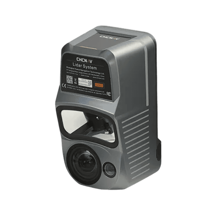
The AlphaAir 10 is a professional airborne LiDAR+RGB system designed to meet the demanding requirements of UAV LiDAR mapping and drone photogrammetry. This advanced solution integrates superior LiDAR technology with accurate GNSS positioning, IMU orientation, and a professional full frame orthophoto camera. Together with CHCNAV’s point cloud and image fusion modeling software, the AA10 delivers survey-grade accuracy, efficiency, and cost-effectiveness in 3D data acquisition and processing.
Specification
High-Precision LiDAR Integration
Achieve unmatched accuracy with our high-precision LiDAR technology, offering 5 mm repeated range accuracy and 2-5 cm absolute precision.
High-Resolution Imaging
Capture detailed imagery with the integrated 45 MP orthographic camera.
Long-Range Scanning Capability
Extend your survey range with up to 800 m measurements and 500,000 points per second scanning.
Enhanced Vegetation Penetration
Utilize advanced multi-target capabilities with up to 8 target echoes, enabling effective penetration of dense vegetation.
Efficient Workflow Integration
Streamline your 3D data acquisition with CoPre and CoProcess software, facilitating post-processing and feature extraction.
Lightweight and Versatile Design
Benefit from a compact, lightweight system (1.55 kg) that is easy to mount on various UAVs.